Mapping Flood Disadvantage in Scotland and Wales
Summary
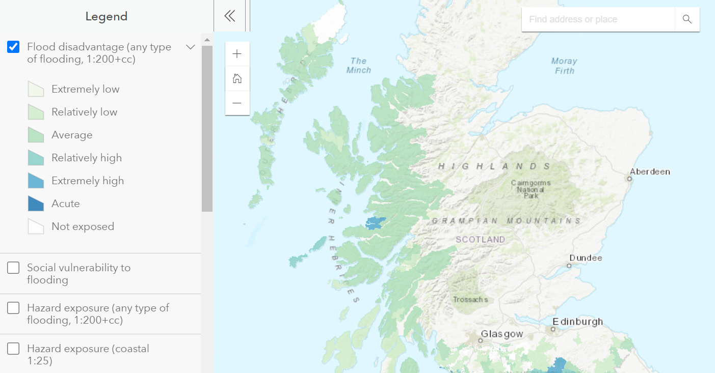
In January 2015, the Scottish Government commissioned this research to identify and map the neighbourhoods in Scotland that are most socially and spatially vulnerable to potential flooding. This updates work carried out in 2013. The findings are of interest to policymakers and practitioners working in flood risk management, resilience, emergency services, health, social care, housing, environment and other areas that would benefit from an improved understanding of vulnerable communities and flooding across Scotland.
Similarly, in 2016, the Welsh Government commissioned research to identify and map the neighbourhoods in Wales that are affected by flood and heat disadvantage.
RESEARCH OUTPUTS
- Kazmierczak, A. Cavan, G. Lindley, S. and Connelly, A. (2015) Mapping Flood Disadvantage in Scotland. Report to the Scottish Government.
RESOURCES
RESEARCH TEAM
- Dr Gina Cavan
- Dr Aleksandra Kazmierczak
- Dr Angela Connelly
- Professor Sarah Lindley

You must be logged in to post a comment.